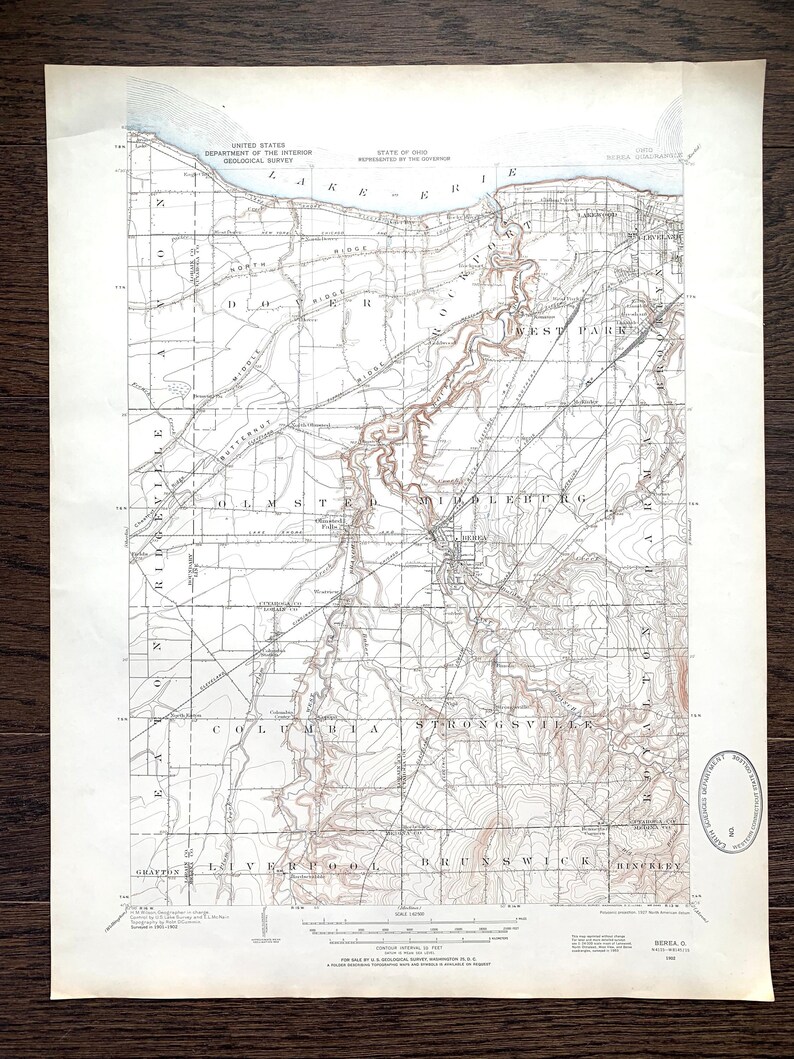
Vintage outlet Cleveland Ohio 1902 Survey Map | Lake Erie, Lakewood, Brooklyn, Berea, Rockport, Olmsted Falls, Rocky River | Unique Wall Art
Own this fantastic, vintage map of Cleveland Ohio, Lake Erie and surrounding areas. This is an authentic (not a digital print or computer reproduction) 1902 geological survey map from the U.S. Department of Interior, reprinted in 1961.
Do you or someone you love have special ties to Cleveland? Looking for a gift for a college graduate in the Cleveland area? Or are you simply an American History lover? This unique map would be the perfect gift!
DIMENSIONS
17" width x 21" height
FEATURES & DETAILS
Cleveland, Lake Erie, Lakewood, Clifton Park, Rocky River, Dover Bay, Eagle Cliff, Avon Lake, Dover, Rockport, West Park, Linndale, Gresham, Kamms, McKinley, Olmsted, Olmsted Falls, North Olmsted, Westview, Berea, Parma, Columbia Station, North Eaton, Copopa, Vigil, Binola, Strongsville, Hardscrabble, Brunswick, Bennetts Corner and more!
CONDITION
Excellent condition. outlet


